Essa & Bradford Corridor Study
Share Essa & Bradford Corridor Study on Facebook
Share Essa & Bradford Corridor Study on Twitter
Share Essa & Bradford Corridor Study on Linkedin
Email Essa & Bradford Corridor Study link
Consultation has concluded
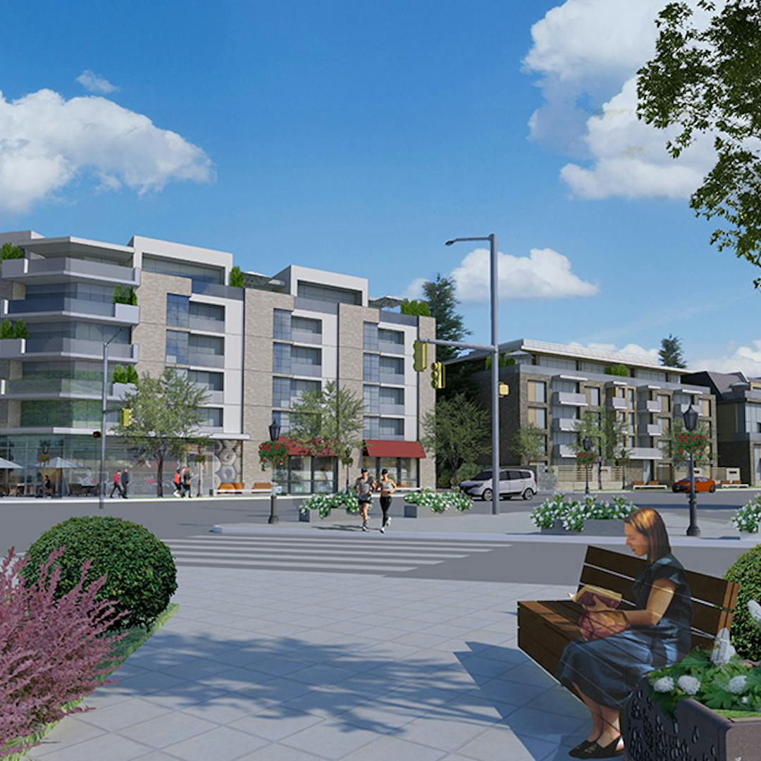
Essa Road and Bradford Street have been identified as an intensification area, meaning they can help Barrie achieve medium and high-density mixed-use development to meet the directions provided by the Province of Ontario.
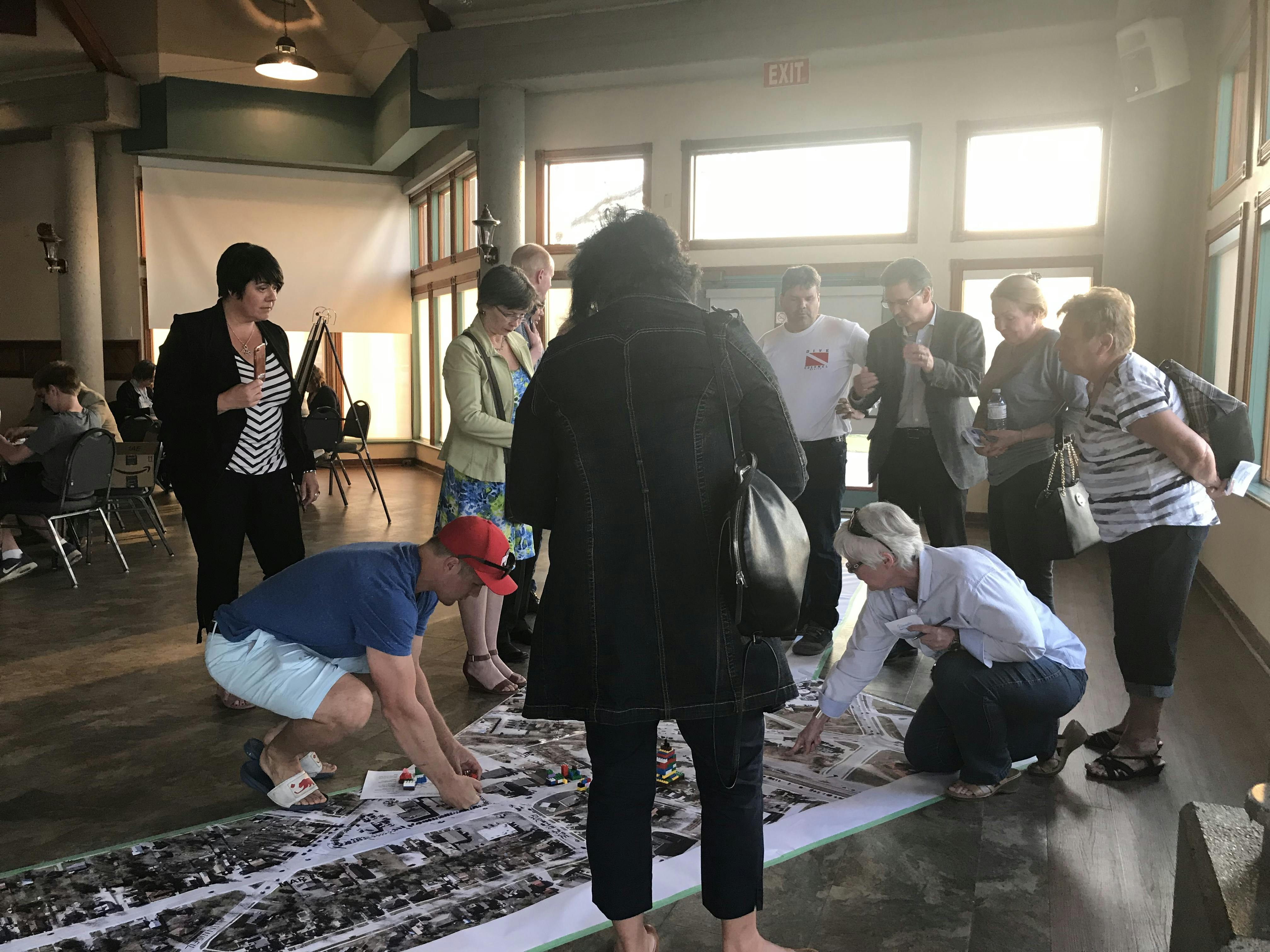
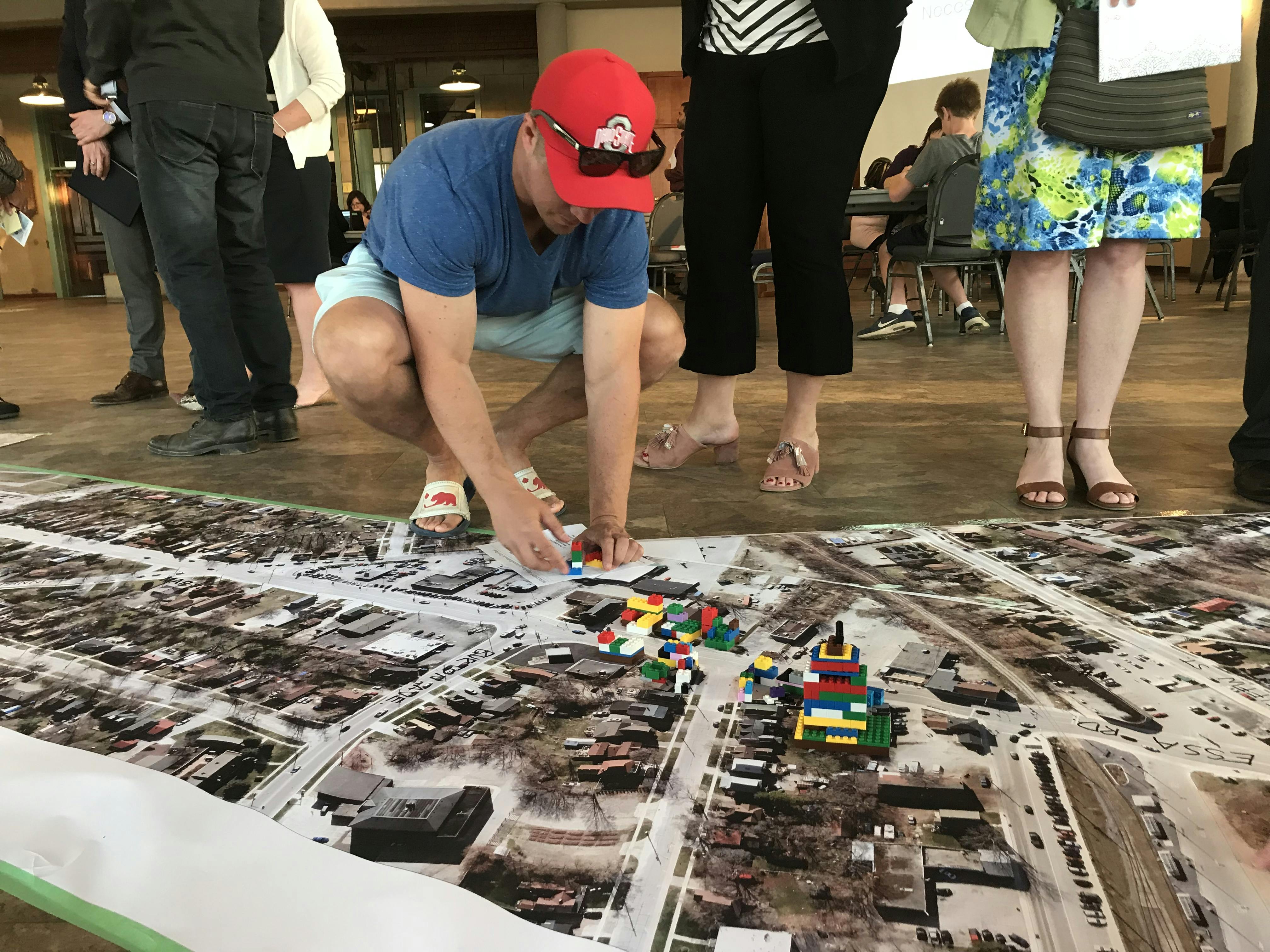
Overview of the Essa & Bradford Corridor Study
As part of the Essa Corridor Study, the City is proposing to amend the current zoning of selected properties along Essa Road to permit mixed use development. These locations (see proposed zoning maps) include:
Feedback collection is now closed. Please refer to the project's Life Cycle for next steps.
Stay Connected

Who's listening
-
Senior Urban Design Planner

Email Jordan.Lambie@barrie.ca -
Planner

Email Edward.Terry@barrie.ca